
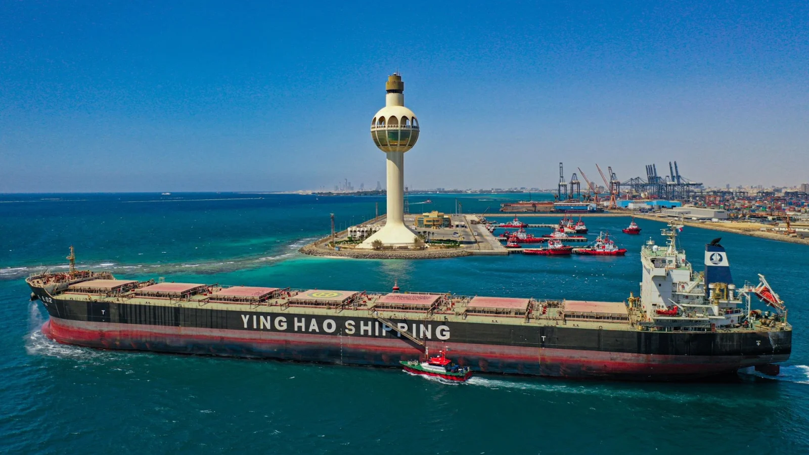
Red Sea · Arabian Gulf
Ports & Coverage
Explore key Saudi port locations through an interactive map, quick operational profiles and dedicated pages for each port.
Saudi Maritime Coverage
Two coasts. One coordinated point of contact.
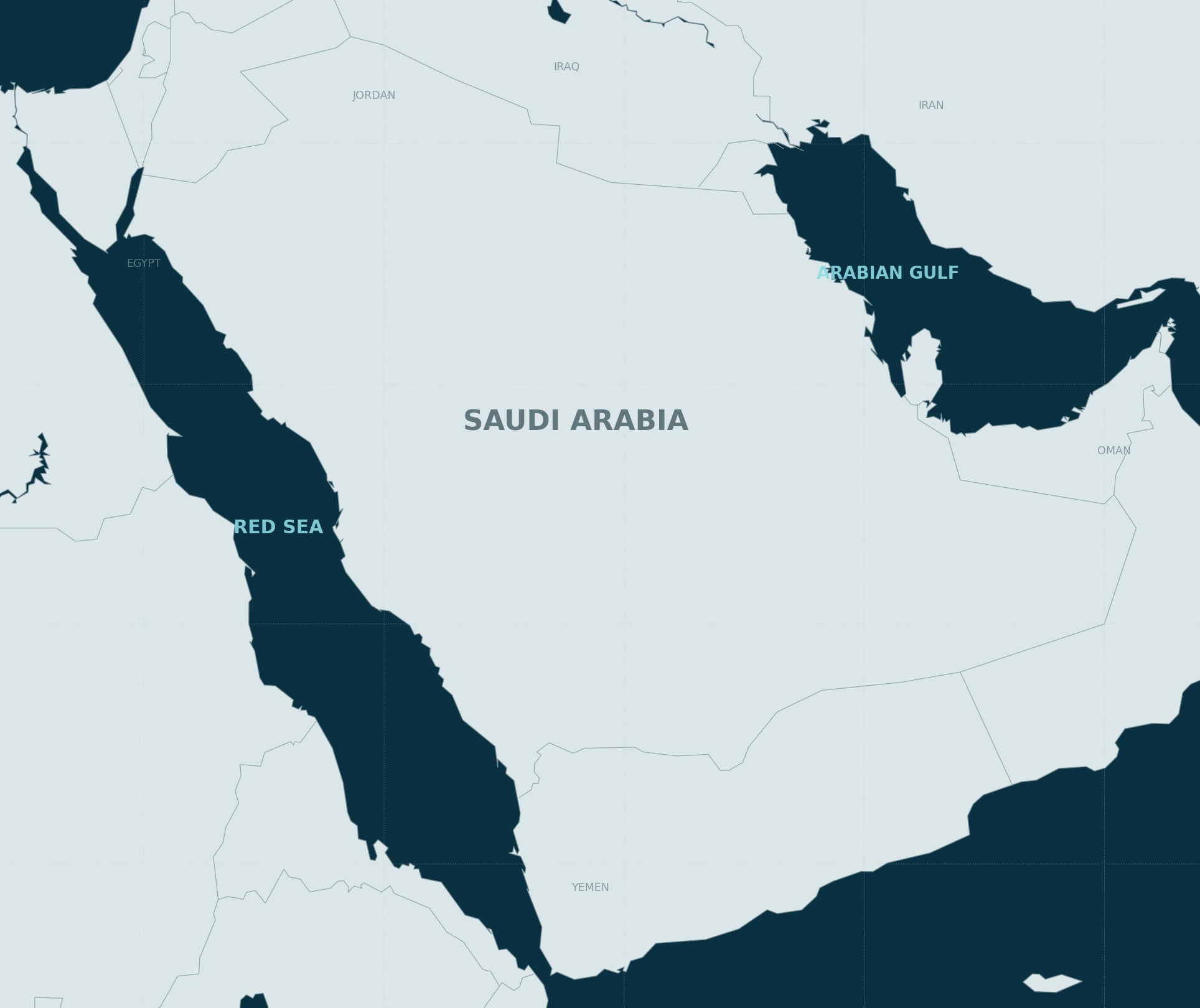
Saudi Arabia’s maritime network spans the Red Sea and Arabian Gulf, connecting commercial and industrial gateways across the Kingdom.
Use the interactive map below to explore Mazaya’s starter port profiles. For every real service request, vessel details, ETA, terminal or berth and the exact scope should be confirmed before attendance.
Operational Note
Port information changes. Service planning stays call-specific.
These profiles are concise orientation pages. Official notices, terminal requirements, agent instructions and access conditions remain the controlling references for each live port call.
Interactive Coverage Map
Saudi Arabia, coast to coast.
Select a port on the real geographic map for quick context, then open its full operational profile.
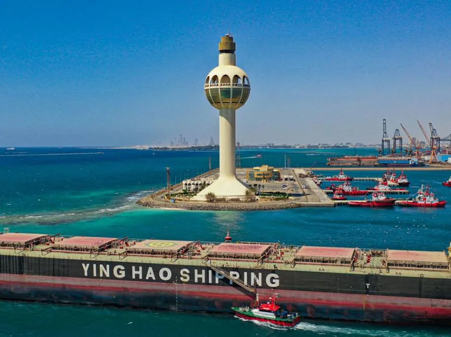
Port Profiles
Useful detail, port by port.
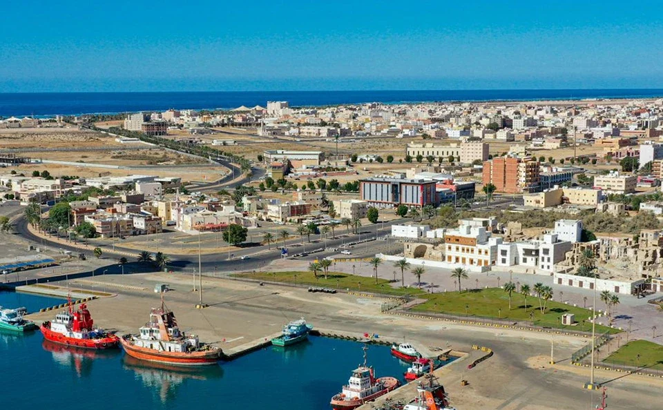
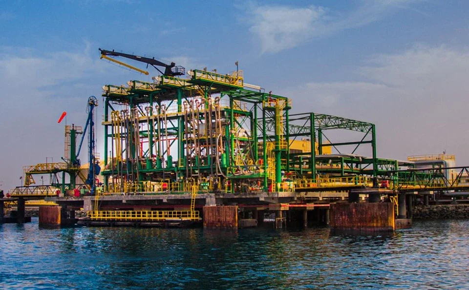
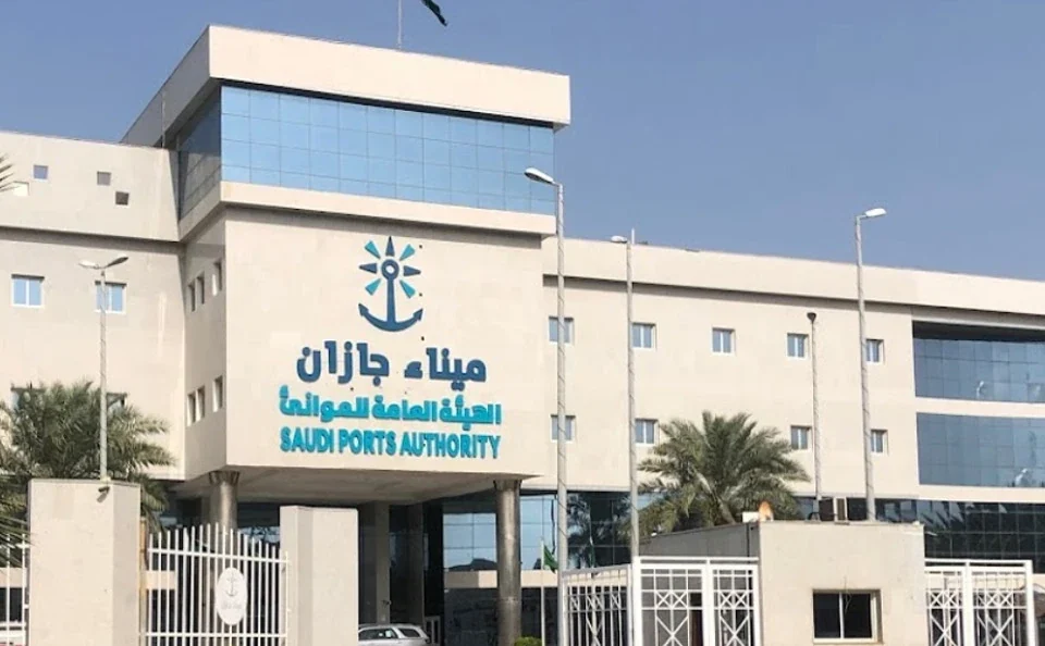
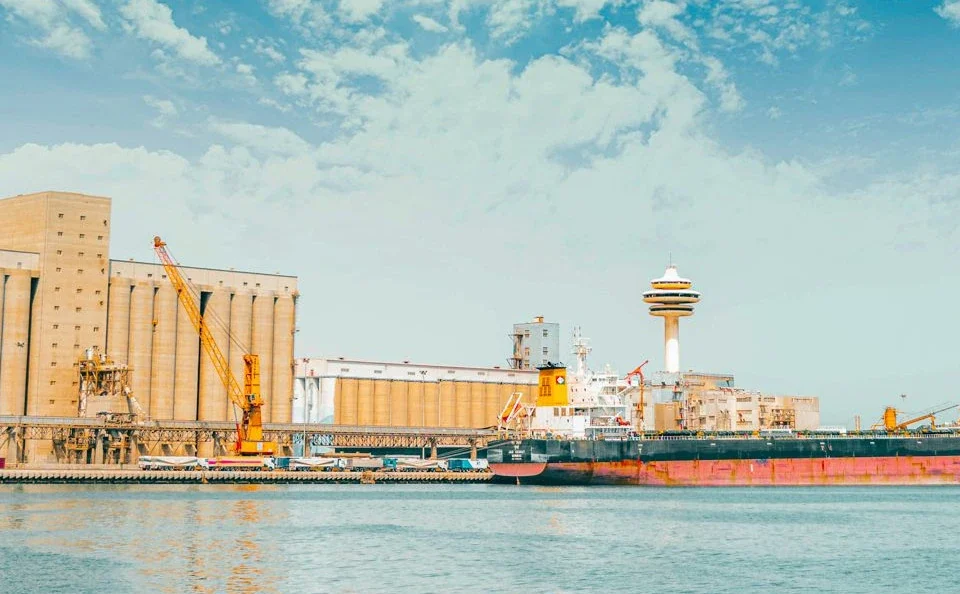
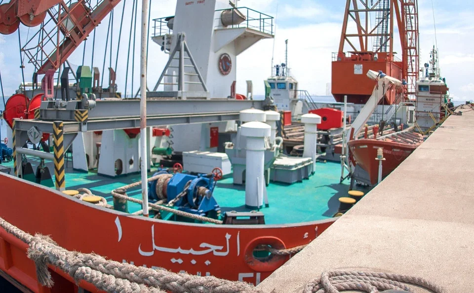
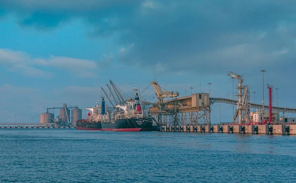
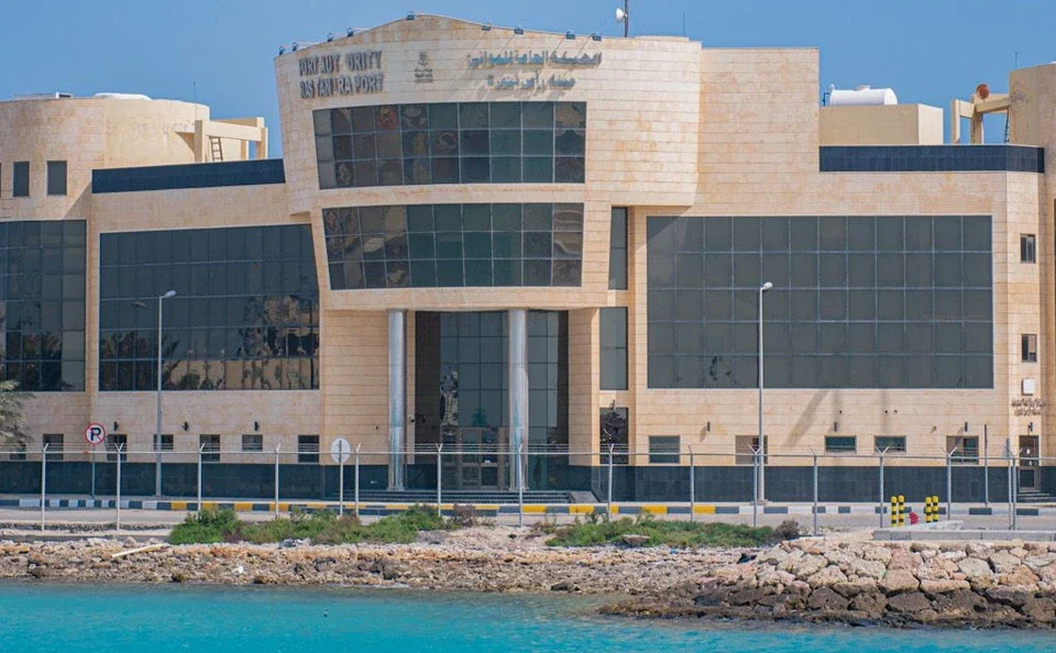
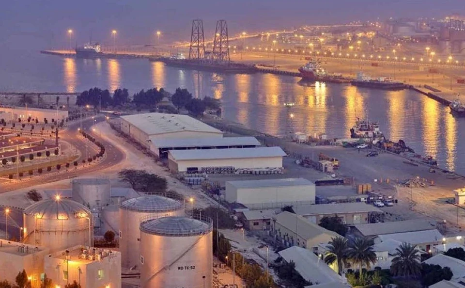
Each profile combines location context, port role, source-derived capabilities and the information Mazaya needs to coordinate a real service request.

Port Call Support